Category: Uncategorised
Exploring Saskatoon’s WCMUC Expansion Part 1.
Amongst the progress of the Bus Rapid Transit, Downtown Cycling Network and the rest of Saskatoon’s Growing Forward Plan, a fairly significant new active transportation plan in the city has flown under the radar: the West-Central Multi-Use Corridor Expansion (WCMUC).
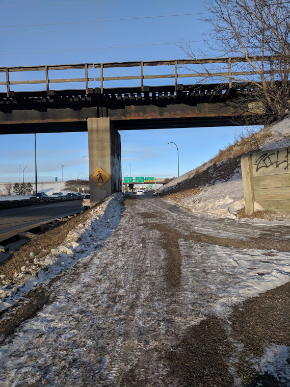
The city has been applying for project money from the federal Rail Safety Improvement Program. One of the requested projects was the ‘Safety Pathway’ program, which details the expansion of the rail-line adjacent WCMUC from Avenue D and 23rd Street all the way to Ave. W and 11th Street. This year, the city received the money from the federal government and will try and complete the project by 2020.
This is great get for the city. The WCMUC expansion is not only a wonderful addition to the active transportation infrastructure of the city but it is almost free to Saskatoon taxpayers. The federal government is covering 80% of the $1.5M cost of the pathway and the rest will come from already budgeted active transportation money.
Follow Walking Saskatoon in the coming couple of weeks as we do a video walkthrough of the projected route and talk about the challenges and opportunities facing the pathway project.
Excerpts of the admin report to council are below:
Rail Safety Improvement Program Project
- ReportOn April 26, 2018, the City received notification that the Safety Pathway project was approved for funding. The Safety Pathway project is to provide an illuminated multi-use pathway between Avenue D and Avenue W. It is a three kilometre multi-use path adjacent to the Canadian Pacific rail line that will connect the City of Saskatoon’s westerly neighbourhoods to the Downtown area. It aims to eliminate pedestrian and cyclist trespassing on rail right-of-way with a pathway and fencing. In addition, the design of the Safety Pathway incorporates the Crime Prevention Through Environmental Design principles which can help make the pathway less susceptible to crime and enable people to feel more comfortable. Features such as illumination, signage, way-finding, benches, and garbage cans near street entrances will improve the territoriality and image of the Safety Pathway, and promote usage of the dedicated path.Public and/or Stakeholder InvolvementDiscussions are currently underway on the design of the Safety Pathway with the Canadian Pacific Railway.As the design progresses, the Administration will engage the community and impacted stakeholders to provide information and obtain input into certain aspects of the design. The details of this engagement are under development.
Page 2 of 3
Rail Safety Improvement Program Project
Financial Implications
The estimated cost of the Safety Pathway is $1,464,900 of which the RSIP will fund up to 80% of eligible costs. The City’s portion, $293,000, will be funded from prior approved funding from the Active Transportation Reserve.
Capital Project #2550 – West/Central Multi-Use Corridor has existing funding of $181,000 that will be used to partially fund the City’s portion of this project. In addition, CP #2550 will be increased by $1,283,900 of which $1,171,900 is funded from the RSIP and $112,000 is funded from the Active Transportation Reserve.
Due Date for Follow-up and/or Project Completion
The Safety Pathway Project is expected to be completed by March 2020.
The full report, in PDF form, is here: Admin Report on Rail Safety Improvement Projects
Fixing 22nd Street Part 2: Dangerous by Design – A Photo Gallery of Neglect
22nd Street in Saskatoon bisects some of the poorest neighbouroods in the city, those that are the least likely to own cars and the most likely to walk or use transit. As discussed in Part 1 of our series 22nd is also among the most dangerous streets in the province, with double-digit pedestrian-car collisions resulting in injury or death in 2017 alone.
Knowing the vulnerable population that relies on this street for access to education, services, groceries, jobs and health care, what care does the city take to ensure safe and accessible conditions along this corridor? Let’s take a look.
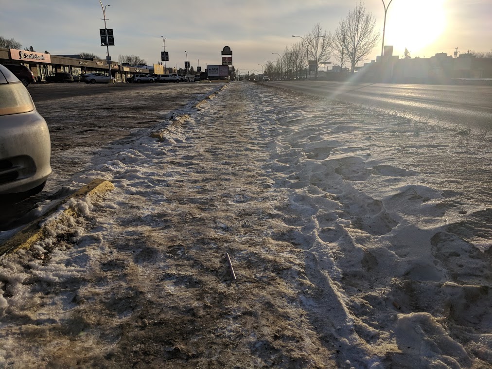
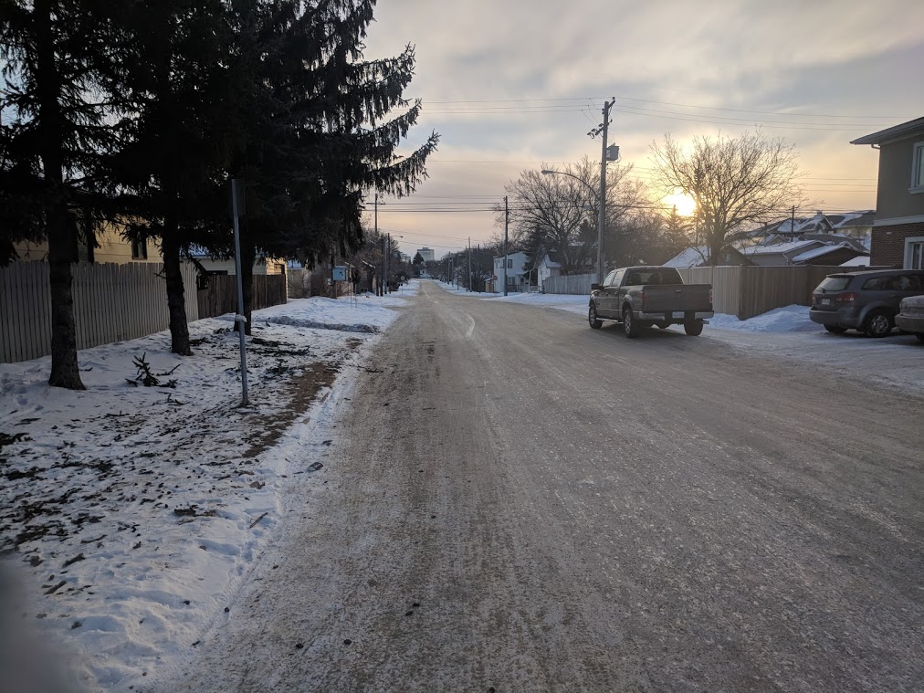
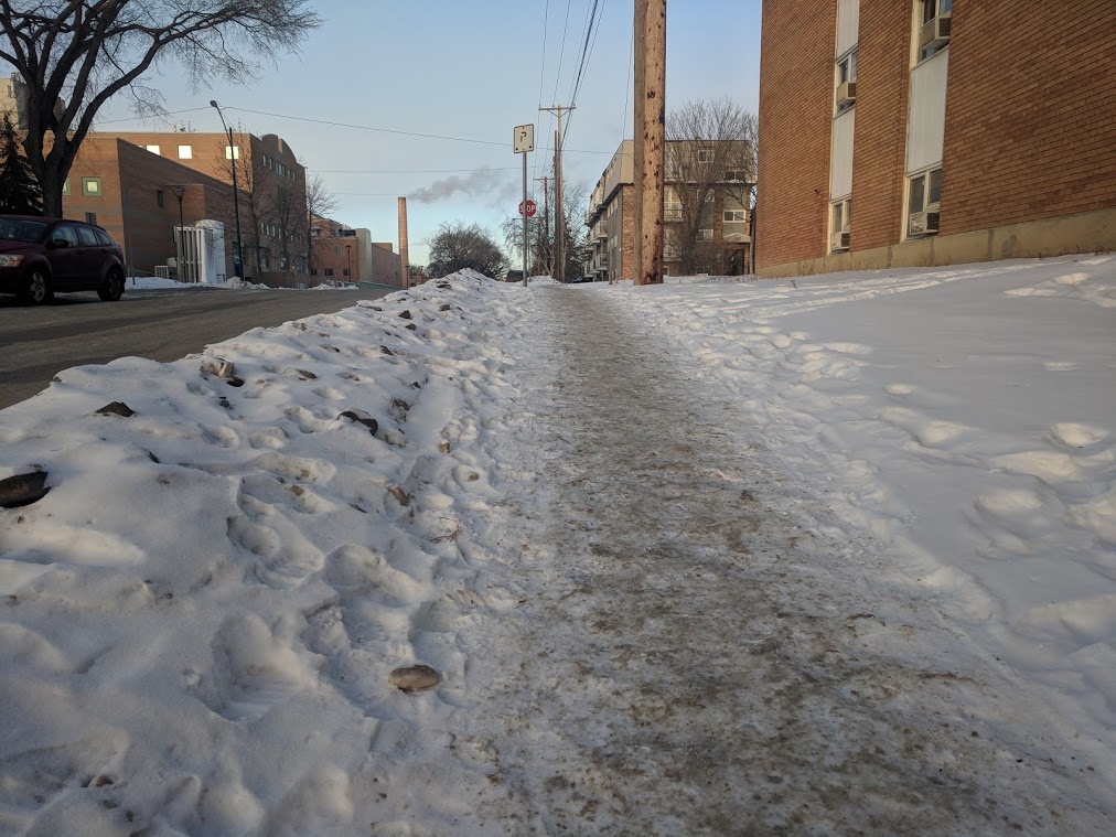
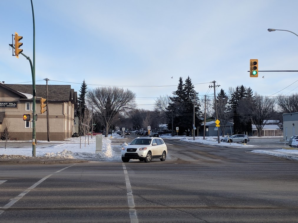
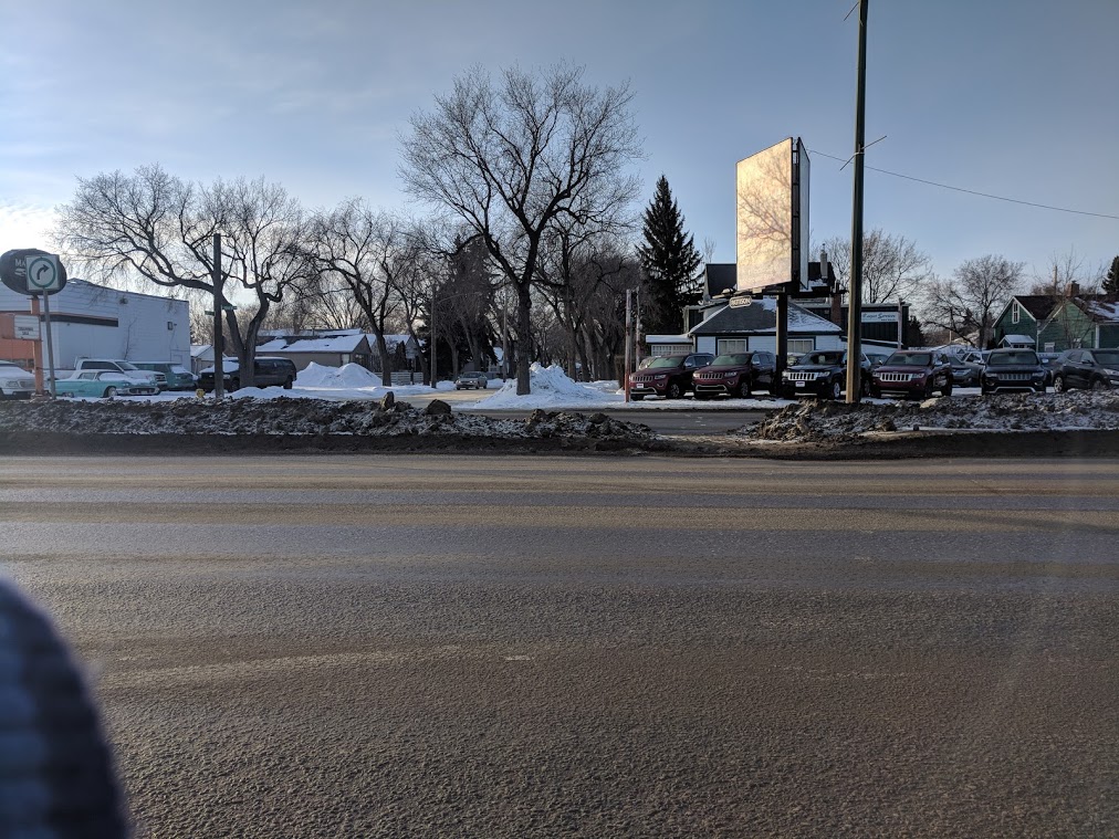
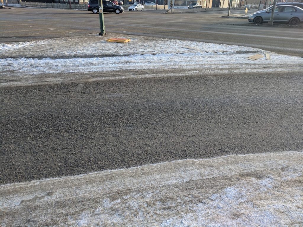
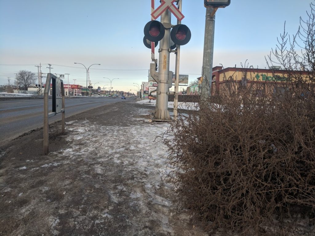
The only grocery store in the area is on 22nd and Avenue W. To get there involves traversing streets that look like this:
It’s probably best to think of it like a video game when you are pushing a shopping cart full of groceries or a stroller down these streets. Make it fun for youself while you try to avoid slipping on the ice and snow into the street.
The city and media don’t like to acknowledge dangerous conditions for walkers on 22nd, perferring to repeatedly blame pedestrians for jaywalking even though the large majority of pedestrian-involved crashes on 22nd are the fault of the car driver.
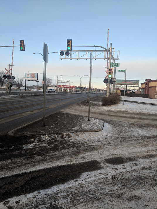
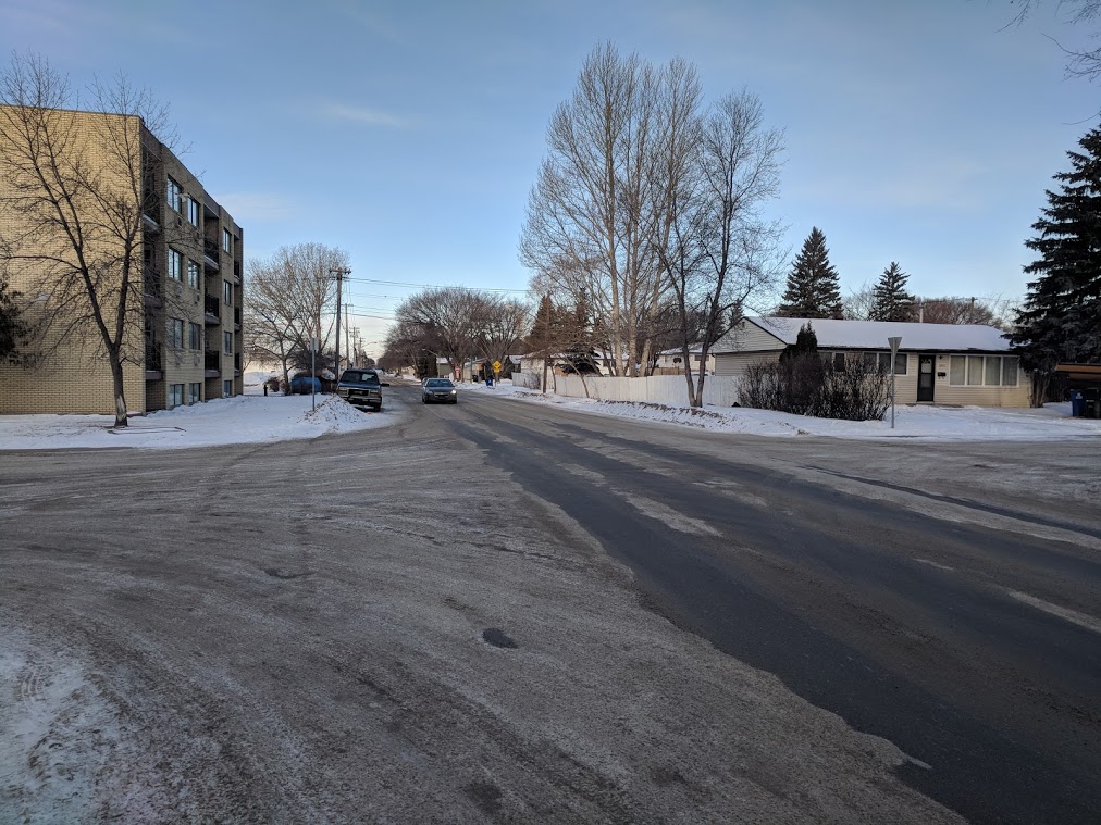
However, even when a pedestrian crosses against the right of way can they really be blamed? Not only are the streets on 22nd by and large inaccessible due to snow, ice, dirt, dust, narrowness and lack of curb cuts but even an alternative route through parallel streets is full of dangers:
Saskatoon owes a basic right to its citizens of safe and accessible transportation. This is not happening right now where its needed most, and it’s a shameful and continuing failure of the whole city. 22nd street is dangerous by design and needs to be made safer immediately.
Continue on to our next post where we present immediate and desperately needed fixes to make 22nd Street safer for walkers.
Fixing 22nd St. Part 3: Solutions
While the city has embarked on a stakeholder engagement process to “Imagine Idylwyld” not much has been done to improve 22nd.
So what can we do to improve the notorious corridor? The city has been considering making changes to the stretch of road since prior to 2015. They have installed a couple of pedestrian activated traffic lights and have mused about several other interventions; some easy and inexpensive like desynchronizing lights or narrowing drive lanes and some more difficult/expensive/disruptive like installing fences or pedestrian overpasses.
Vision Zero suggest some fast fixes to improve places where drivers and people meet. Among them, there are several that stand out for 22nd Street. Here are are our Vision Zero-inspired recommendations for starting to make 22nd Street safe and accesible for all road users:
- Painting crosswalks at uncontrolled intersections and adding rectangular rapid flashing beacons (RRFBs) is an easy and cheap way to indicate to drivers to watch for pedestrians while providing more points to cross. Existing crosswalks also need to be properly maintained.
- Bring sidewalks up to code and make them passable in all seasons.
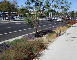
The city has a legal and moral responsibility to build sidewalks to code and maintain them in a passable state in all seasons. This means increasing the size of sidewalks to conform with ADA code, shoveling and de-icing in winter and removing water and dust in summer. Even better would be added treed medians to shield walkers from traffic.
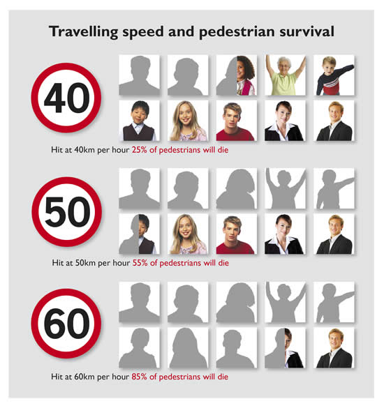
- Enforce speed limits and traffic infractions with automated cameras that would be used as dedicated funding for streetscape improvements. Reducing speed limits would help but be tremendously unpopular and likely unsuccessful based on the road design.
Enforcing current traffic rules on speed, pedestrian right-of-way and red lights would make the street much safer and the fine money raised would be used to fund streetscape and safety improvements.
Vision Zero is much more than a few guidelines; It is a fundamental approach that many European and North American cities have adopted with great success. New York City has recently cut it’s pedestrian deaths by 32 percent through this approach.
Saskatoon has had Vision Zero on its radar since its strategic Traffic Safety Action Plan (TSAP) in 2013. It’s been almost five years without any significant commitments to follow through. It’s encouraging to note that two city councillors and Mayor Charlie Clark have confirmed via Twitter in early January that they “are seriously looking into Vision Zero”. Here’s hoping they put their words into action soon.
Thank you. We are seriously looking into Vision Zero for #yxe.
— Bev Dubois (@BevDubois) January 15, 2018
With the city currently engaged in planning for the future bus rapid transit along this corridor, along with the Transit Village near the Confederation Drive intersection and on the heels of the city’s “Imagine Idylwyld” stakeholder engagement and design, Saskatoon has a historic opportunity to re-imagine 22nd Street as a place for people – or at the very least a place where people can cross the street without fear.
Fixing 22nd Street Part 1: The Problems
22nd Street is a major roadway in Saskatoon in need of a fundamental rethinking, but first we need to stop the bleeding. The wide street used to function as a thoroughfare for highway and truck traffic making its way through the city, but with the opening of Circle Drive South, 22nd Street’s core function changed. Now it is an ultra-wide arterial street connecting the city’s westernmost neighbourhoods to the core while bisecting some very walkable neighbourhoods.
The city is also planning a Bus Rapid Transit (BRT) system and has identified 22nd Street as a key corridor making it exist currently in a state of flux. We are at an interesting moment for 22nd Street providing us with an opportunity to re-imagine the corridor into a great street. This is an excellent idea that will take time to bring the vision to fruition. In the meantime there are some serious concerns that the street is not safe for pedestrians.
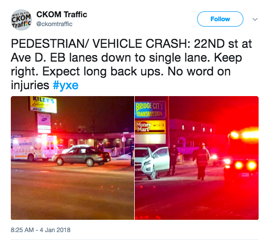
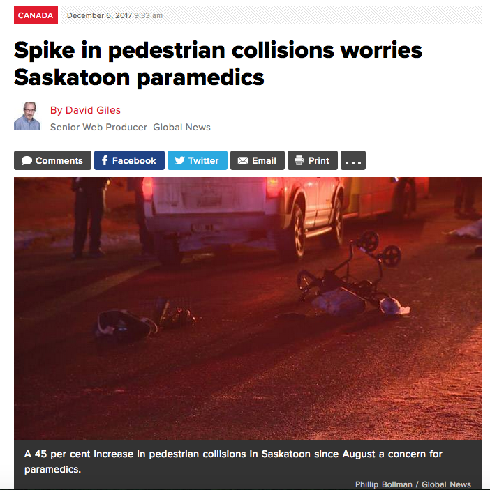
There were at least 10 collisions between drivers and pedestrians in 2017 resulting in several serious injuries and one death prompting MD Ambulance to urge citizens to be careful on the street. Some interim measures are needed to try and prevent similar stats from occurring in 2018.
The 25 blocks of 22nd Street between Idylwyld Drive and Whitney Avenue is about as bad as it gets for vulnerable user design. There are some critical issues with the design of 22nd street. It is a major west-central arterial roadway that has some similarities to the major north-central arterial road, Idylwyld drive. Both streets are anchored by car centric businesses in their commercial zones but they also bisect residential neighbourhoods for long sections.
On Idylwyld there are generally a maximum of 5 lanes (4 driving + 1 left turn) to cross at any given time, 22nd St has an average of 7 (6 + 1 left turn) from Idylwyld through to Whitney Ave. There are only eight controlled points to cross the street between Idylwyld and Whitney. At these points of crossing, there is only a small median that limits the pedestrian clustering area mid road. The wide road width and few controlled intersections encourage faster speeds making collisions between drivers and vulnerable road users more dangerous.
Check back in a few days for our suggested fixes to make 22nd St. safer for all road users
New Infill Sidewalks in Saskatoon! (and meeting on Sunday)
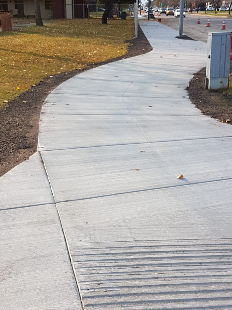
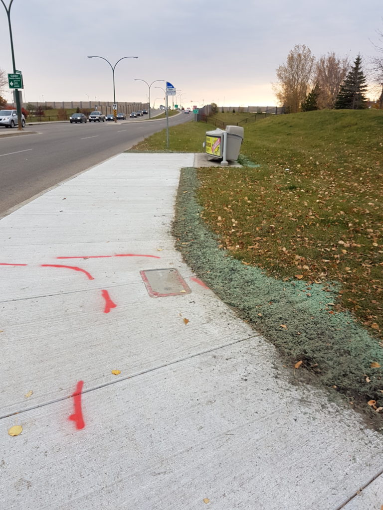
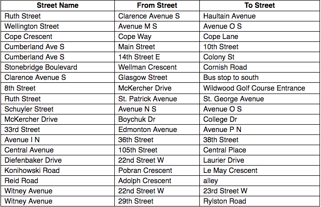
After some struggles with the first year of the program due to conflicts with median trees, the City of Saskatoon has put in new infill sidewalks for the first time in many years. Courtesy of Nathalie Baudais at the City’s Transportation Department we have some pictures and a list of the work that’s been done so far:
Clarence between Glasgow St. and bus stop
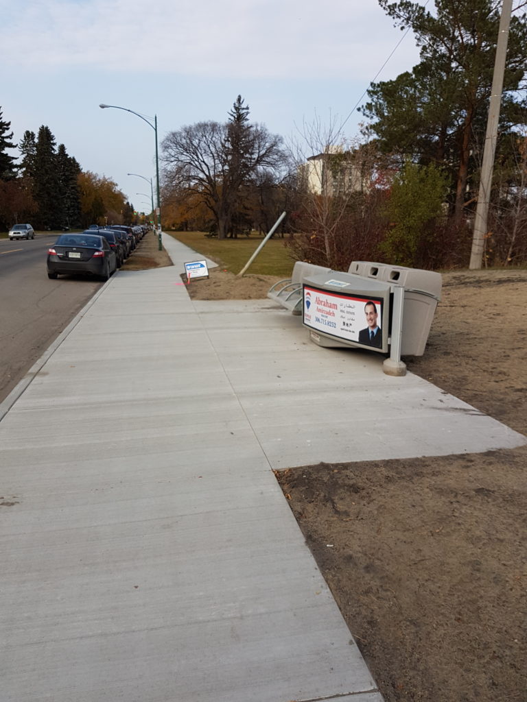
8th Street between Wildwood GC and McKercher
Cumberland between 14th and Colony
Come out and join us this Sunday, Nov. 26th, 1:00 at Venn’s Coffee Roasters for our next meeting.
Agenda:
- Progress Report on Buckwold Bridge
- Neighbourhood Walkability Reports
- Interacting with Community Association and becoming a Resource Hub
Good Progress on Sid Buckwold Pathway Widening
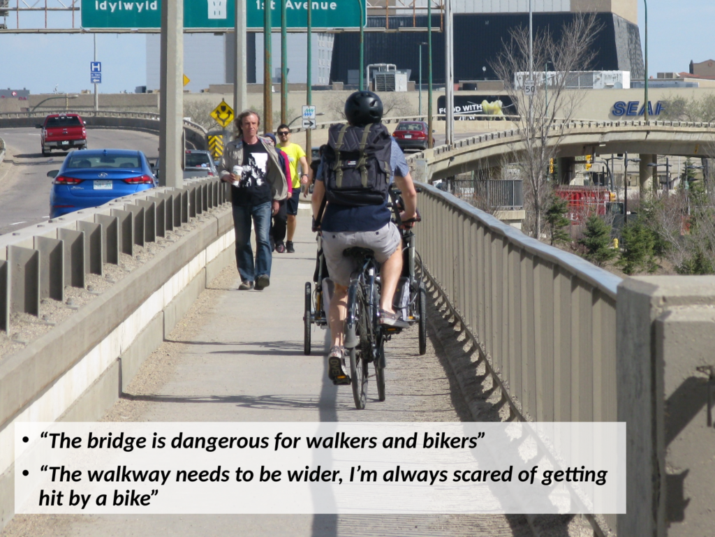
Warrick Baijius and Cam McMillan of Walking Saskatoon presented the proposal for widening the pedestrian pathway on the Sid Buckwold bridge to the city’s Standing Policy Committee on Transportation meeting on June 12th. The presentation was well received by the councillors and met with many positive comments. The committee voted to send the proposal to administration for a formal report on the costs and engineering details of the project. Walking Saskatoon will continue to keep on advocating for the widening right up until the work starts.
The event was well covered in the media, with Cam talking to CBC Radio about the project and both the Star Phoenix and the CBC covering our presentations (starts at 4:30).
Keep on sending us your pictures of bad and missing sidewalks in the city on Twitter and Instagram (yes, we are on Instagram now!)
Here’s a great one from @dragpokorlo who even got the Airport to respond:
Hey @fly_skyxe this is what welcomes a pedestrian to the yxe airport
What's wrong with sidewalks? pic.twitter.com/zh2ZXShZND
— a ??, eh (@dragpokhorlo) April 15, 2017
Come out to Support Walking Saskatoon and a Functional Buckwold Bridge Pathway on Tuesday!
The City Standing Policy Committee on Transportation meets on Monday at 2:00 in Council Chambers. Early on the agenda are Warrick Baijius and Cam McMillan from Walking Saskatoon giving a presentation on proposed upgrades to the Idylwyld Bridge walkway. Come down to the meeting to show your support or watch the livestream broadcast.
Sidewalk Infill Locations for 2017 have been Decided.
The following streets will get sidewalks this year where none existed before (as long as council agrees to spend already budgeted money):
Some very high-profile problem blocks will get much needed sidewalks:
Cumberland from 14th to Colony, a major thoroughfare for University commuters and home to a mud-and-snow-bound bus stop:
How about Clarence from Brand to Stonebridge Blvd? A new suburb designed to fix the mistakes of past neighbourhood efforts with regards to walkability but where they forgot to put sidewalks on many major roads?
#sidewhere location 8th and Moss!
As we discussed during last year’s release of the list the budget line item for sidewalk infill has no ongoing funding attached, but rather relies on year-to-year one-time allocations. Last year, red-light camera fine money was used. This year saw ten times the money spent ($2.3M vs $240k) as federal money from the Public Transit Infrastructure Fund was used this year.
This led to some changes for the criteria used to select streets to construct sidewalks on. Last year, there was a formula used that incorporated access to parks and schools. This year, access to bus stops was used as the primary criterion given the transit-focused funding source.
Next year, the fight for funding begins again. Walking Saskatoon will be heavily lobbying on the issue, as well as pushing for more transparency in the judging criteria and list of streets that are under consideration for sidewalk infill. However, this year is the most successful ever for infill sidewalk construction in city history and both council and administration are to be commended for their attention to this issue.
#sidewhere Show us the Worst Sidewalks in Saskatoon.
Many may have seen Streetsblog’s Sorriest Bus Stop in America contest. Given our city’s too-large collection of sidewalks that start and/or end nowhere in a similarly useless fashion to a bus stop on an Interstate, we are interested in your pictures of stranded sidewalks in Saskatoon. Use the hashtag #sidewhere and/or send it our way via Twitter or Facebook using the links at the left.
Some real beauties already:
Hey @WalkingYXE here's a shot of 8th and Moss for your collection! #sidewhere pic.twitter.com/aaplnqJPmP
— Cameron McMillan (@cs_mcmillan) May 29, 2017
Crosswalk to nowhere – Spadina Cres E + Windsor St @WalkingYXE @cityofsaskatoon @Meewasin #sidewhere pic.twitter.com/5M0NNVZL5f
— EcoFriendly Sask (@EcoFriendlySask) May 31, 2017